What is DroneDeploy?
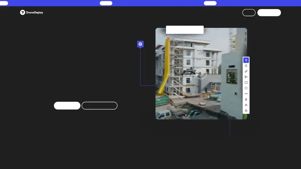
DroneDeploy is your go-to platform for reality capture, offering drone mapping, photo documentation, and AI-powered site analysis. Whether you're in construction, agriculture, or utilities, it helps you track progress, improve safety, and reduce rework—all from one place.
What are the features of DroneDeploy?
- Aerial & Ground Capture: Fly drones or use 360 cameras to document sites from every angle.
- Real AI Analysis: Detect safety risks, track progress, and automate reports with AI trained on geolocated imagery.
- Robotic Automation: Use docked drones or ground robots for hands-free data capture.
- Full Lifecycle Visibility: Compare 2D maps, 3D models, and point clouds to see how your project evolves.
- Safety AI: Monitor job sites in real time to prevent accidents and streamline compliance.
What are the use cases of DroneDeploy?
- Construction: Automate inspections, track earthworks, and document pre-construction conditions.
- Agriculture: Count crop stands, monitor health, and identify variability in fields.
- Oil & Gas: Manage remote assets and improve worker safety with aerial inspections.
- Roofing: Capture high-res roof imagery to speed up damage assessments and reports.
How to use DroneDeploy?
- Sign up for a 14-day free trial on DroneDeploy’s website.
- Choose your capture method: drones, 360 cameras, or robotic automation.
- Upload and process data to generate maps, models, or safety reports.
- Use AI tools to analyze progress, risks, or crop health.