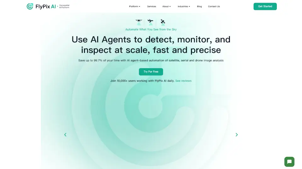
What is FlyPix AI?
FlyPix AI is a cutting-edge geospatial platform that uses artificial intelligence to analyze Earth's surface. It helps you detect, identify, and analyze objects in satellite and drone imagery—fast, accurate, and without needing coding skills. Whether you're in construction, agriculture, or government, FlyPix makes geospatial data work for you.
What are the features of FlyPix AI?
- AI-Powered Detection: Instantly finds and outlines objects in images—saving 99.7% of manual work time.
- Custom AI Models: Train models to spot specific items—no programming knowledge needed.
- Interactive Sandbox: Test the platform with a hands-on demo before committing.
- Multi-Industry Support: Works for construction, farming, forestry, ports, and more.
- Scalable Pricing: Plans from free trials to enterprise-level solutions.
What are the use cases of FlyPix AI?
- Construction: Track site progress and equipment in real time.
- Agriculture: Monitor crop health and field conditions.
- Government: Improve urban planning and disaster response.
- Forestry: Detect illegal logging or track tree growth.
- Ports & Mining: Optimize logistics and resource management.
How to use FlyPix AI?
- Upload geospatial images (drones, satellites, etc.).
- Train your AI model by marking objects you want to detect.
- Run analysis—FlyPix highlights matches automatically.
- Export results or integrate them into your workflow.


