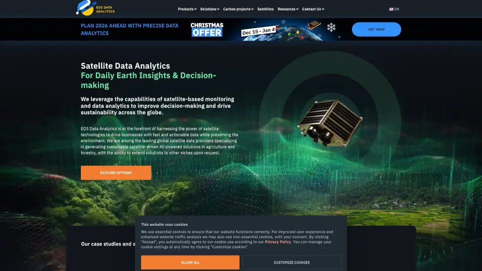
What is EOS Data Analytics (EOSDA)?
Satellite Data Analytics & Imagery Analysis by EOSDA helps businesses make smarter decisions using advanced satellite data. Whether you're in agriculture, forestry, or urban planning, our tools provide actionable insights from space.
What are the features of EOS Data Analytics (EOSDA)?
- Precision Farming Tools: Monitor crop health, track weather, and optimize field management.
- High-Resolution Imagery: Access detailed satellite images from sources like Sentinel-2 and Landsat.
- Custom Indices: Use NDVI and other vegetation indices to assess plant health.
- Weather Integration: Get real-time forecasts to plan farming activities.
- White Label Solutions: Tailor our platform to fit your business needs.
What are the use cases of EOS Data Analytics (EOSDA)?
- Farmers: Track crop growth, detect pests, and save on inputs.
- Forestry Managers: Monitor deforestation and plan sustainable logging.
- Urban Planners: Analyze land use changes over time.
- Insurance Companies: Verify claims with accurate field data.
How to use EOS Data Analytics (EOSDA)?
- Sign up for an EOSDA account.
- Select your area of interest on the map.
- Choose satellite data (e.g., NDVI, weather, soil moisture).
- Analyze trends and export reports for decision-making.